
A great deal of research is underway in the Anloërdiepje in Drenthe, which all feeds into the Blue Transiton pilot in the area. Project leader Geertje Enting of “Water in the Topsoil” talks about Prolander’s preliminary findings and shares her perspective on collaborating with farmers.
What is the Anloërdiepje Pilot Project?
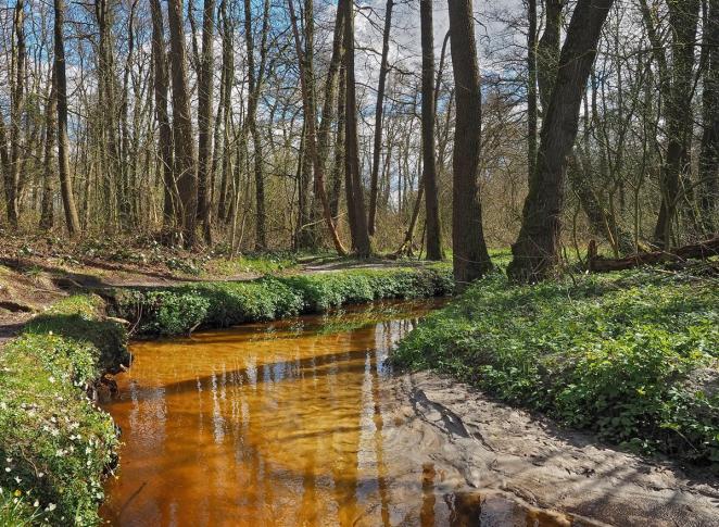
Prolander is an organization that translates provincial policy into concrete plans and ensures that these plans are implemented. They are working with the regional water authority Hunze en Aa’s and the Province of Drenthe on the Anloërdiepje pilot project and this joint effort sits within the larger Blue Transition project in the north Netherlands region. The pilot area is part of the Drentsche Aa region, known for its unique blend of natural habitats, agriculture, and drinking-water extraction.
The pilot project comprises two subprojects:
- Hydrological Research
Under Prolander’s leadership, an extensive hydrological study is underway. The team is conducting a system analysis and developing a hydrological model. - Water in the Topsoil/ Water in de bouwvoor
Led by the water authority, this subproject implements field-scale measures in partnership with farmers. Additionally, on-farm trials are investigating how cultivation practices affect soil health, waterquality (nitrate levels and pesticides), and water balance.
Beyond modelling and measures, the ultimate aim is to devise a long-term strategy for climate-resilient water management and sustainable land use across the pilot area.
Illustrating & communicating analysis
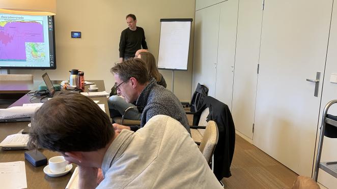
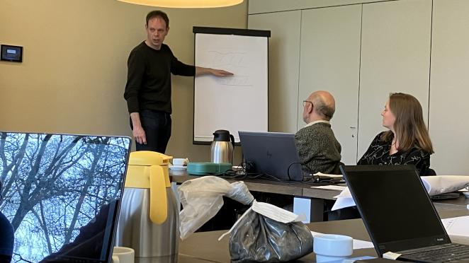
The presentation of the system analysis drew a full house, mainly farmers, last November. The clear visuals developed by researchers for the event—maps, charts, and 3D renders—illustrate how impermeable layers of glacial clay and stiff till cause dramatic soil variability over short distances and are useful communication tools.
Topics included groundwater dynamics, key hydrological bottlenecks, and anticipated impacts of climate change. Speaking for Prolander, Willem Tjebbe Oostenbrink reminds us: “Only through collaboration in knowledge development and sharing can we continue to reconcile the various functions of the Anloërdiepje for the future.”
“Water in the Topsoil”
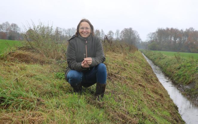
Geertje Enting leads the second subproject. As both a farmer and consultant, she underscores the value of co-creation: “We want our agricultural system around the Anloërdiepje to be resilient to prolonged droughts, heat spells, and waterlogging.”
“The water balance here is so complex that hydrologists are thrilled by it—thanks to those clay and till layers. We organized a basic hydrology course for farmers. With the barn full, everyone gained insight into how water moves in their own fields. That knowledge lets farmers sit at the table as equal partners.”
New findings, practical advice
Farmers have even helped map clay pockets and till seams, feeding local observations into Sweco’s model. “Sometimes the tops of ridges are waterlogged, while dryness sits just meters away,” Geerjte explains. “Their input refined the model, and we’ve already seen how quickly new findings translate back into practical field advice.”
Looking to the future, Enting is optimistic: “Together with farmers, we hope to design practical, attainable, and cost-effective measures. We also want a clear vision of how to distribute and retain water in the landscape. This is a positive example of place-based collaboration.”
Collaborating on water resilience
The Anloërdiepje pilot embodies a holistic approach to water quality, water quantity and land management. By coupling hydrological modelling with hands-on experimentation by farmers, the project not only advances our scientific understanding but also equips local stewards with the tools to adapt to a changing climate. As research results continue to roll in and farm measures take root, this collaboration offers a model for other mixed-use landscapes seeking a sustainable balance between agriculture, nature, and clean water production.