
During a recent visit to Anloërdiep,one of the DutchBlue Transition pilotareas in the northern Netherlands, the hydrological research group joinedstakeholders and the leader of Water in debouwvoor project (Water in the furrow) to study the area and to discuss planning and approach.
Despite the cold weather,theexcursionprovided ample opportunity for warm talks andimproved insights into the special hydrological and geological features of this area with participating farmers and Groningen’s drinking water company. Together the group were getting the lay of the land – forming a strong basis for further collaboration.
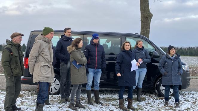
Visit of the hydrological research group to Anloërdiep, joining stakeholders and the leader of Water in de bouwvoor project
Hydrological situation
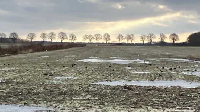
Several factors determine the hydrological situation and land use in Anloërdiepje and Eexterveld. A pot clay layer underlies much of the area in the southwestern part while, towards the northeast, the pot clay is located at a depth of 30-40 meters below ground level.
According to current mapping there are two locations where pot clay occurs at a greater depth, and here an attempt was previously made to construct an irrigation well. However, it was not possible to penetrate the said layer and insufficient water can flow in for irrigation.
It was also noted when drilling that another a clay layer was encountered at a depth of about 40 meters. Since there is no record of this in the available data this may be cause for further investigation.
Boulder clay is present on the higher ridges and shales also occur throughout the pilot area. Furthermore, there is a salt dome in part of the soil and the groundwater is believed to contain high levels of salt. According to one of the farmers using a sprinkler well located at the suspected site, this was not his experience – which is quite remarkable.
Geological factors
During the excursion, which was an ideal opportunity to engage closely with stakeholders in the pilot area, our Blue Transition partners (the Province Drenthe, Water Authority Hunze en Aas, Prolander, State Forestry,Groningen Drinking WQater Company) also recognized the differences in elevation. Such geological factors are also indicative of a large soil variation at plot level.
Traditionally, land use and the sort of crops cultivated were strongly defined by soil type and water availability. In more recent years, this has become disrupted due to shifts in land ownership and land use for nature, livestock and arable sectors.
Following this field trip, concrete plans are now being further developed for Anloërdiepje, in close cooperation with local farmers. We’ll keep you updated!