
19/11/2025
2 minutes
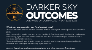
The DARKER SKY project has now entered its final active year, running until 30 September 2026.
Over the coming weeks, partners across the North Sea Region will finalise the biodiversity monitoring, light pollution measurements and the installation of light modifications at our eight demonstrator sites.
These activities will lead directly to our key project results that provide practical tools, evidence and strategies for reducing light pollution.
An overview of our main upcoming outputs and what to expect from them:
MONITORING GUIDE
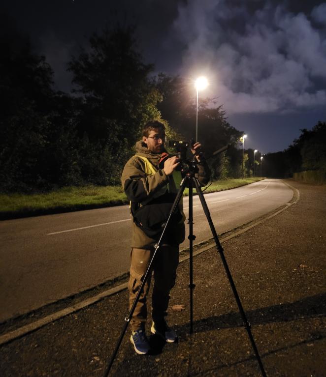
Photo: Enora Morin
Light Pollution Mapping and Monitoring Guide
- A practical document for municipal planners, lighting managers and environmental agencies.
- Summarises methods to measure light illumination and monitor ecological impacts on non-expert level.
- Provides step-by-step guidance to identify where lighting modifications matter most to build evidence-based plans and to meet future regulatory requirements.
EVALUATED PILOTS
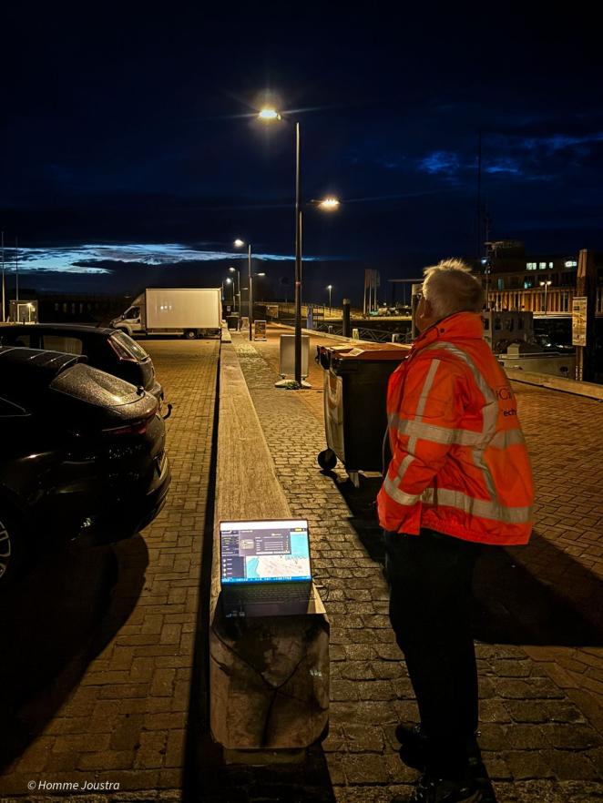
Photo: Homme Joustra
8 Light-reduction solutions implemented and evaluated
- Each pilot site tested specific light reduction solutions each with a different co-design approach, e.g. bottom-up with local communities or top-down with local municipalities or ports.
- The Pilot Evaluation Report compiles all results in four key sections:
- Technical light modifications
- Light measurements
- Biodiversity monitoring
- Sociological studies and policy implications
- Providing clear recommendations for planners and decision-makers on effective and feasible lighting solutions.
- Visual “Before & After” assessment wheels will illustrate how lighting, biodiversity and social perception changed before and after the modifications.
FACT SHEETS
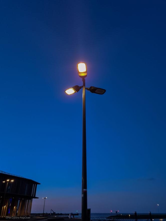
Photo: Piet Zijlstra
Pilot Results Fact Sheets (non-technical)
- Concise, easy-to-understand summaries of the project’s main findings.
- Designed for municipalities, NGOs and citizens interested in the outcomes of the demonstrator sites and the effect of light modifications and their co-design approach.
SKY BRIGHTNESS MAP
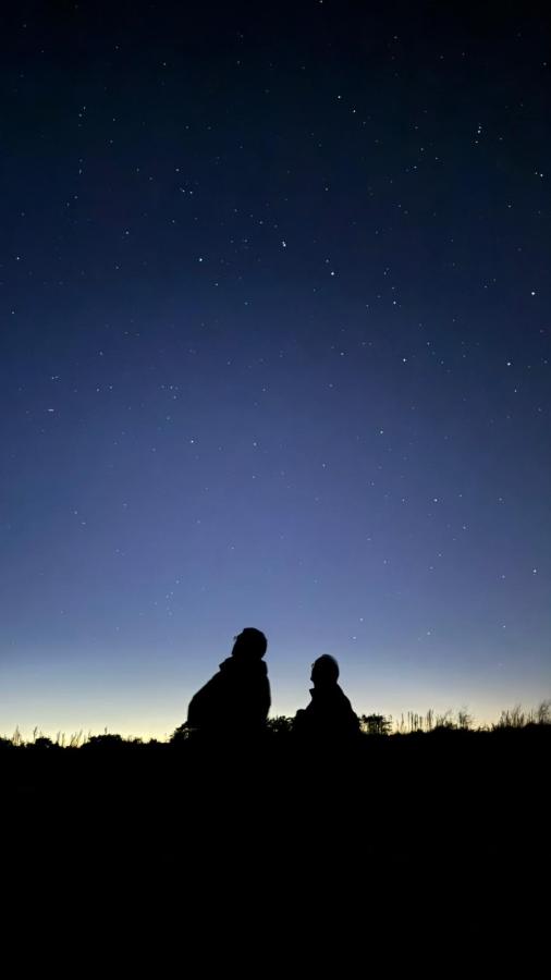
Photo: Jan-Willem van Kruyssen
Sky Brightness Map for selected North Sea Region areas
- A GIS-based, spatial map showing measured night-sky brightness across project regions.
- Provides essential evidence to support transnational conservation planning and the protection of dark ecological corridors across the North Sea Region.
REGIONAL ACTION PLANS
Photo: DARKER SKY
6 Regional Action Plans for the Roll-out of Light Reduction Solutions
- Regional “roadmaps” developed together with municipalities, administrations and regional authorities.
- Provide specific guidance and requirements for planning and implementing environmentally sound lighting infrastructure.
- Aim to integrate the tested solutions into existing spatial and climate action plans, ensuring long-term impact beyond the project lifetime.
TRANSNATIONAL STRATEGY
Photo: DARKER SKY
Transnational Strategy to Reduce Light Pollution and Strengthen Dark Ecological Corridors
- A concise cross-border strategy of all project regions: Brest, Groningen, Friesland, Lower Saxony, Hamburg and Denmark.
- Delivers policy recommendations to harmonise light pollution reduction across the North Sea Region.
- Supports ecological connectivity and the creation of a joint framework for sustainable night-time environments.
Share this article: