Image
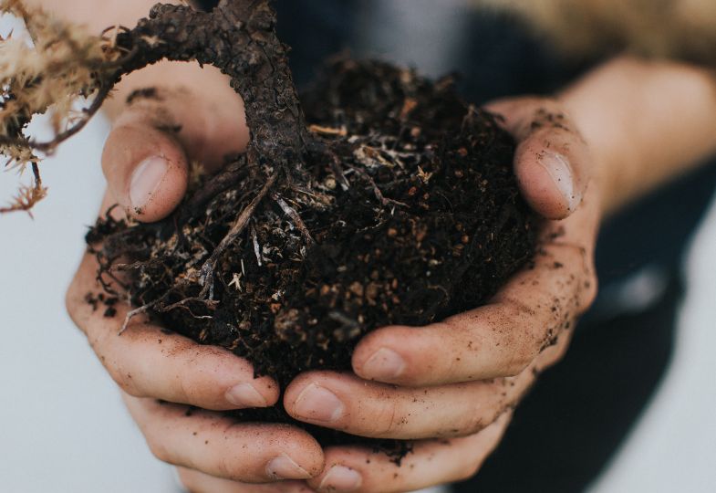
Green transitions

Droughts, heatwaves, severe cloud bursts. What is the impact of extreme weather events on our groundwater?
Unlike drying rivers and lakes, we cannot see the effects of climate change below the surface. But beneath our feet, a lot is happening that will have a significant long-term impact on the quality of our environment and on human existence.
According to the European Environment Agency, groundwater supplies 65% of drinking water and 25% of water for farm irrigation in the EU. But the groundwater is under growing pressure from pollution, extraction, and climate change.
The TOPSOIL project discovered what goes on underground. This video captures how climate change and land use influence the groundwater:
For seven years, the TOPSOIL partners explored how climate change affects the groundwater and how to best manage groundwater resources in the future.
Modelling expertise was at the centre of TOPSOIL and transnational cooperation provided many new insights.
We got access to a lot of data which we never could have done on our own
However, transferring new knowledge on groundwater and soil to land users - such as farmers - is one of the main challenges in climate adaptation. Another challenge is to integrate the new insights in formal guidelines and policies.
TOPSOIL set up a transnational governance learning process including experts from five countries facing the same challenges. This allowed specific discussion and comparisons between the countries and facilitated links between technical results and management or policy.
For example, a model created by the Dutch partner Province of Drenthe now forms a basis of new regulations on irrigation and drainage, as part of the Province’s strategic Water Plan. In Denmark, a working group was established to work on a national law proposal. The driving force behind these developments was a new hydrological model that uses data from TOPSOIL partners to provide detailed calculations.
TOPSOIL helped protect soils against salinisation, droughts, and floods by better understanding and managing underground dynamics, including ground water.
During long periods of drought, the polder streams can become saline. With our changing climate, this forms a real risk for agriculture and drinking water in our coastal areas. TOPSOIL provided insights into how we can increase the availability of fresh water in these areas.”
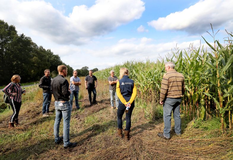
Agriculture and its links to groundwater played a significant role in TOPSOIL. Many pilots worked closely with farmers to demonstrate practices for resilient soil and groundwater. A strong bond of trust has enabled acceptance and uptake of our results and innovative practices well beyond the project’s lifespan.
In the Netherlands, pilot farmers demonstrated new sustainable machinery and farming practices. Based on this, targeted subsidies could underpin long-term transformation of farm management.
In the UK, three TOPSOIL “champion farmers” will continue to host soil monitoring stations. The farmers apply innovative approaches with specialist support and the soil properties will evolve in response to the different management regimes. The results will be shared with the wider farming audience at on-farm events.
In Germany, all pilots started to transfer TOPSOIL results to new areas to increase freshwater availability. In Northwest Lower Saxony, payment schemes demonstrated in TOPSOIL are now part of the agri-environmental plans, reducing nitrate pollution while increasing the farmers’ benefits.
Cooperation with farmers around groundwater management was a central part of TOPSOIL.
In Belgium, pilots mapped fresh and salt groundwater aquifers to identify options to make fresh water more accessible. The team also installed a creek ridge infiltration system in close cooperation with a farmer, improving it through further research and monitoring. This solution helps farmers balance seasonal changes in freshwater abundance and build resilience to drought.
In Denmark, pilots addressed a range of challenges, including contaminated land and groundwater flooding. For example, the team explored fertiliser regulations in specific areas and developed a hydrological model to reduce urban point source pollution.
In addition, they further developed existing TEM technology to support high-resolution, cost-effective geophysical surveys in Denmark and the other partner countries. This work contributed to the establishment of a commercial spin-off, TEMcompany. Building on the TOPSOIL experience, tTEM has been further developed, enabling the development of a range of flexible instruments that utilise TEM technology.
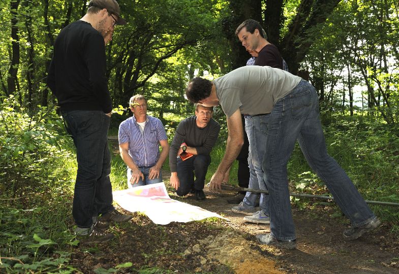
TOPSOIL people doing field work together.
TOPSOIL contributes significantly to our political work because the data collected in the project are essential for an informed, political decision which we, in collaboration with irrigation associations and farmers, will have to make with regard to how to distribute our [groundwater] resources.
TOPSOIL spearheaded local and transnational cooperation to make the subsurface more visible. However, there is a need to further integrate and take a more systemic approach. To build the resilience of (ground-) water management, we need to connect and better balance areas used for different purposes such as farmland, protected areas and urban areas.
As Hans Kuipers, Deputy Board Member of the Dutch Province of Drenthe states: "The next phase is not only about a blue transition in water policy but also a green transition in agricultural policy and a new approach to spatial planning.”
Let’s go for it!
The project developed 44 solutions to protecting groundwater in a changing climate. The solutions have so far been adopted by over 100 organisations. For example, in the UK, collaboration with other projects enabled TOPSOIL to deliver practical interventions on the ground resulting in the delivery of more than 750,000 m3 of water replenished to the natural environment.
TOPSOIL spearheaded novel magnetic resonance technology to discover and map vital underground structures and dynamics, and modelling to predict what happens in the future. This has had a huge impact on the effectiveness of groundwater management. For example, pilots in the Dutch provinces of Zeeland and Drenthe inspired the national institute Deltares to start a nationwide project to investigate the remaining Dutch coastal zones using these techniques. The US Geological Survey and Standford University have also adopted TOPSOIL's techniques.
TOPSOIL's results have already led to several significant improvements in climate-smart planning and management. For example, in Lower Saxony, Germany, TOPSOIL results have provided the frame for new long-term contracts with farmers on soil and groundwater management. TOPSOIL also captured the attention of policymakers at regional and European level. For example, in the UK, TOPSOIL co-chaired a national working group on water resources management.
In TOPSOIL, 24 partners from five countries worked together for seven years (2015 - 2022).
Find out much more about TOPSOIL and their work at their project website.
Feel free to reach out to the project coordinator to learn more:
Flemming Jørgensen, Central Denmark Region, flemming.joergensen@ru.rm.dk
Stevie Swenne is the Head of Team International Cooperation at Flanders Environment Agency, VMM. He coordinated the project level communication and the capitalisation strategy for TOPSOIL.
Ilke Borowski-Maaser is an independent consultant for stakeholder involvement and project cooperation and founder and owner of Interessen Im Fluss. She supported the entire project in various roles, including facilitation of the transnational governance process and project management.
Top image: The Floatem technology at work. TOPSOIL successfully pioneered electromagnetic resonance subsoil mapping techniques on the ground (tTEM), from helicopters (SkyTem) and on open water (FloaTem).